Goat Island Lighthouse
Location: Kennebunkport
Latitude: 43°21'28.3"N Longitude: 70°25'30.6"W
Latitude: 43°21'28.3"N Longitude: 70°25'30.6"W
Station Established: 1833
Present Tower Built: 1859
Automated: 1990
Structure Status: Standing
Tower Height: 25 Feet
Focal Plane: 38 Feet
Present Day Optic: VLB-44
USCG Unit Responsible for Aid to Navigation: ANT South Portland
Historic Structures Remaining: 
1859 keeper's house
1905 boathouse
1907 oil house
2011 fog bell tower (reconstruction)
Lighthouse Owner: Kennebunkport Conservation Trust
57 Gravelly Brook Road, Kennebunkport, ME 04046
207.967.3465
info@kctoffice.org
http://www.kporttrust.org/
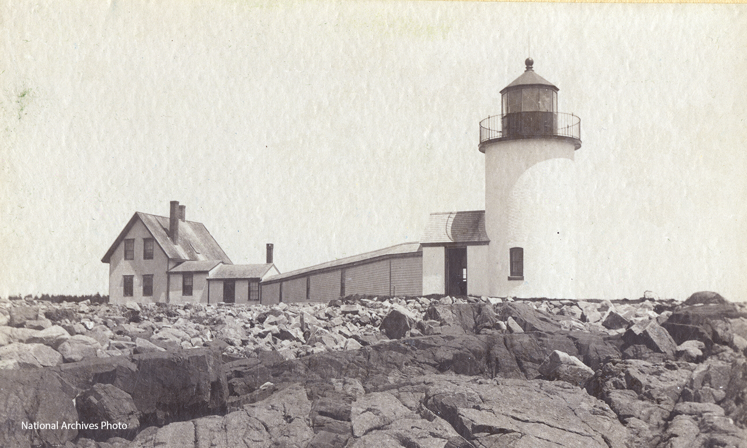
Goat Island Lighthouse - National Archives Photo